As Hurricane Isaias churns through the Gulf of Mexico, supply chain professionals and energy analysts are bracing for a period of significant volatility. Currently a Category 1 storm, Isaias is projected to intensify rapidly, potentially reaching Category 3 status with sustained winds exceeding 100 mph before making landfall this Friday at approximately 2 p.m.
The storm’s projected path—stretching from the eastern edge of Houston to the Florida Panhandle—places it directly in the crosshairs of some of the most critical infrastructure in the United States. For a nation already grappling with elevated diesel prices and tight trucking capacity, the timing of Isaias could not be more precarious.
The Core Facts: Storm Path and Intensification
According to meteorological analysis provided by FreightWaves Sonar and WeatherOptics, the storm’s trajectory presents a complex challenge. By Wednesday, meteorologists expect Isaias to strengthen into a Category 2 system, with further thermal energy in the Gulf likely fueling a climb to a major hurricane classification by Friday.
The primary concern for logistics managers is the sprawling nature of the impact zone. Unlike storms that make a singular, concentrated impact, the path of Isaias covers a wide swath of the Gulf Coast. This area is the backbone of American energy, home to an immense concentration of refineries, offshore oil platforms, and major maritime gateways.
Chronology of the Threat
The evolution of Hurricane Isaias has been monitored closely by industry stakeholders:
- Initial Development: The storm formed as a tropical disturbance, gaining organization as it entered the warm waters of the Gulf.
- Early Week Intensification: Meteorological models consistently shifted toward a strengthening trend, moving from a tropical storm to Category 1 status with clear potential for further growth.
- Mid-Week Escalation: By Wednesday, experts anticipated the storm reaching Category 2 strength, with sea surface temperatures providing the fuel necessary for a transition to Category 3.
- The Friday Deadline: Forecasts pin landfall for Friday afternoon. This leaves a razor-thin window for emergency preparations at ports and refining facilities.
- Post-Landfall Outlook: Beyond the initial impact, the storm is expected to dump between 3 to 6 inches of rain across the region, with localized flooding reaching as high as 10 inches, likely impacting road infrastructure for several days following the event.
Energy Sector Vulnerability: The 50% Threshold
Perhaps the most alarming aspect of Isaias is its intersection with the U.S. energy sector. The Gulf Coast is responsible for roughly 50% of the nation’s total refining capacity, amounting to 18.2 million barrels per day.
Up to six major refineries sit directly in the storm’s potential path. While offshore operators have begun the precautionary measure of evacuating nonessential personnel, production levels remain steady for the moment. However, industry experts caution that this could change at a moment’s notice.
"Gulf State refineries account for 50% of the national refining capacity of 18.2 million barrels per day," says Julie Van de Kamp, a prominent industry analyst. "I don’t think this storm is going to be strong enough to do a lot of damage—but it is something for us to keep watching as we’re already in this current environment where diesel prices are incredibly elevated."
The concern is not just the immediate damage but the "repair lag." If wind or storm surge causes significant structural or electrical damage to a refinery, it could take days, or even weeks, to return to full operational capacity. In a market where fuel costs are already a primary driver of inflation, any supply constriction could exacerbate the price burden on trucking fleets nationwide.
Freight Market Disruptions and Logistics Shifts
The logistics industry is not waiting for the storm to hit to begin adjusting. Data from the FreightWaves Sonar platform indicates that the Southeast freight market is already seeing the early signs of "storm stress."
Tender Rejections and Capacity
Tender rejections in key markets—specifically New Orleans, Mobile, and Montgomery—have begun to climb, currently tracking in the 17% to 19% range. These figures are trending above national averages, indicating that carriers are becoming increasingly selective about the freight they accept in anticipation of the storm’s volatility.
Regional "Pops" in Rates
Analysts anticipate a "Southeast pop" in spot rates. This occurs when shippers scramble to move freight out of the path of the storm, creating a temporary surge in demand that far outweighs available capacity. Once the storm passes, the market will likely face a secondary disruption as carriers attempt to navigate flooded roads, bridge closures, and power outages, further limiting the flow of goods.
Maritime Operations
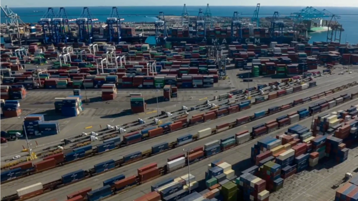
Ports in Mobile and New Orleans are currently on high alert. The potential for vessel delays and cargo unloading slowdowns is significant. While the Port of Houston is currently projected to avoid a direct hit, the overall disruption to Gulf Coast maritime traffic is expected to be profound. The ripple effect of these port slowdowns often reaches deep into the inland supply chain, as intermodal connections and rail services are forced to adjust to the bottleneck.
Meteorological Perspectives and Emergency Preparedness
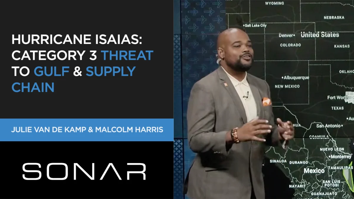
Malcolm Harris, who provided the meteorological breakdown for the event, has highlighted flooding as the primary threat.
"I do not play about the weather," Harris stated, emphasizing that the defined nature of the storm’s eye makes it a dangerous, albeit focused, threat. "Areas from Louisiana to the Florida Panhandle should prepare for torrential rain, wind, and storm surge."
For residents and businesses in Gulf Shores, Alabama, and the Baton Rouge area, the advice is to monitor conditions hourly. From a supply chain perspective, this means that evacuation decisions for logistics personnel and the movement of critical assets must be finalized well before the arrival of the outer bands of the storm.
Furthermore, the post-storm response is already being mapped. FEMA has identified staging locations in Jacksonville and Atlanta. These sites are designed to facilitate the rapid movement of relief supplies, but they also represent a potential source of "emergency freight" demand that will further tighten capacity in the Southeast in the days following the storm.
Implications for the Future of Freight
The arrival of Hurricane Isaias serves as a stark reminder of the fragility of the U.S. supply chain when faced with natural disasters. The combination of concentrated energy infrastructure and critical freight corridors makes the Gulf Coast a "single point of failure" for the broader economy.
1. The Diesel Price Factor
With diesel prices already at high levels, any disruption to refining capacity will act as a force multiplier for logistics costs. Carriers operating in the Southeast will likely pass these costs on to shippers, potentially leading to a localized inflation spike in goods transported through the region.
2. The Resilience Gap
The current event highlights a need for greater visibility and data-driven contingency planning. By utilizing tools like Sonar’s WeatherOptics and Everstream, companies can now predict, with greater accuracy, where and when their supply chains will be impacted. However, the physical reality of a storm—flooded roads and damaged ports—remains a hurdle that technology cannot fully erase.
3. Regulatory and Compliance Considerations
As companies prepare for the storm, they must also navigate the complex regulatory environment surrounding emergency declarations and carrier operations. For those managing complex brokerage operations, the upcoming Brokerage Compliance Symposium in Chattanooga serves as a reminder of the importance of staying current on FMCSA rules, carrier liability, and insurance gaps—all of which become even more critical during disaster recovery periods.
Final Thoughts: A Call to Vigilance
As Hurricane Isaias approaches the Gulf Coast, the focus must remain on safety first. However, for those tasked with maintaining the flow of commerce, the next 72 hours will be defined by rapid decision-making. Whether it is adjusting lane strategies to avoid the impact zone, securing fuel contracts, or preparing for the inevitable surge in post-storm relief freight, the lessons learned from previous storms are being applied in real-time.
FreightWaves will continue to track the data, monitoring tender rejection rates and volume shifts as they occur. The industry remains in a state of high alert, ready to adapt to the changing landscape of the Gulf Coast as the storm makes its mark.
For industry professionals looking to further their knowledge on navigating these volatile periods, the upcoming Future of Freight Festival (F3) will provide a platform to discuss these challenges and the technological innovations that are helping the industry build more resilient supply chains in an era of increasingly unpredictable climate events.